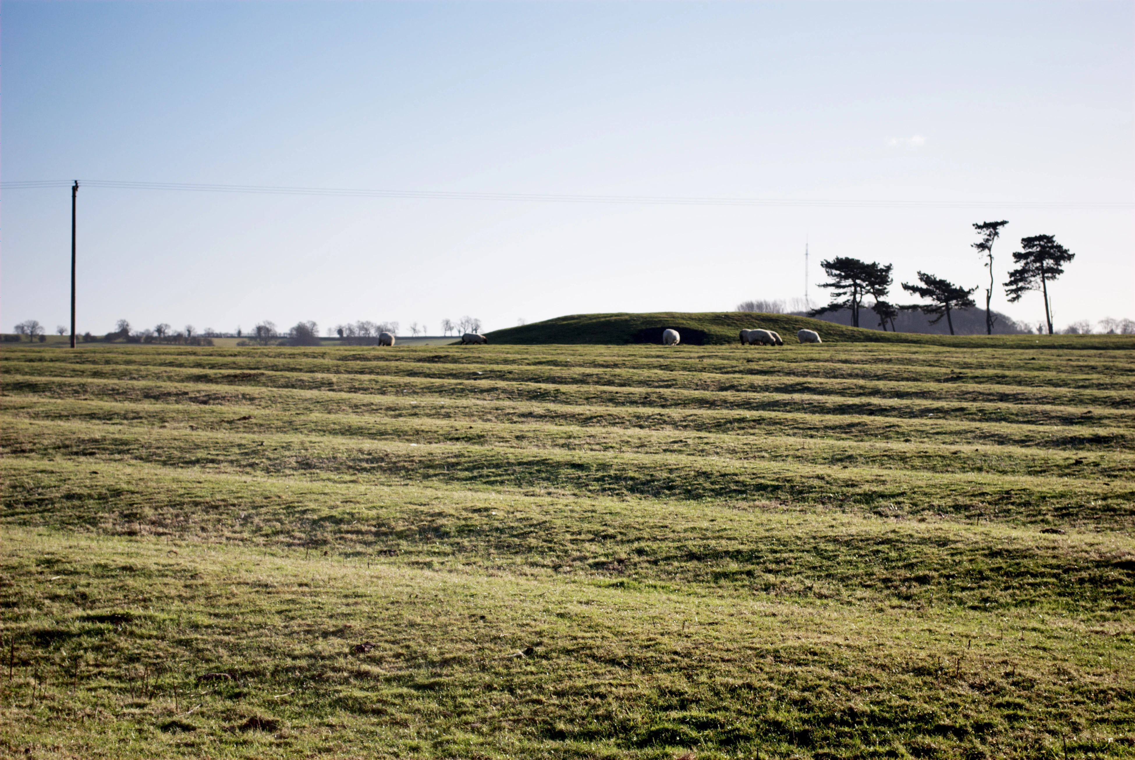
Ridge and furrow in Cold Newton, Leicestershire
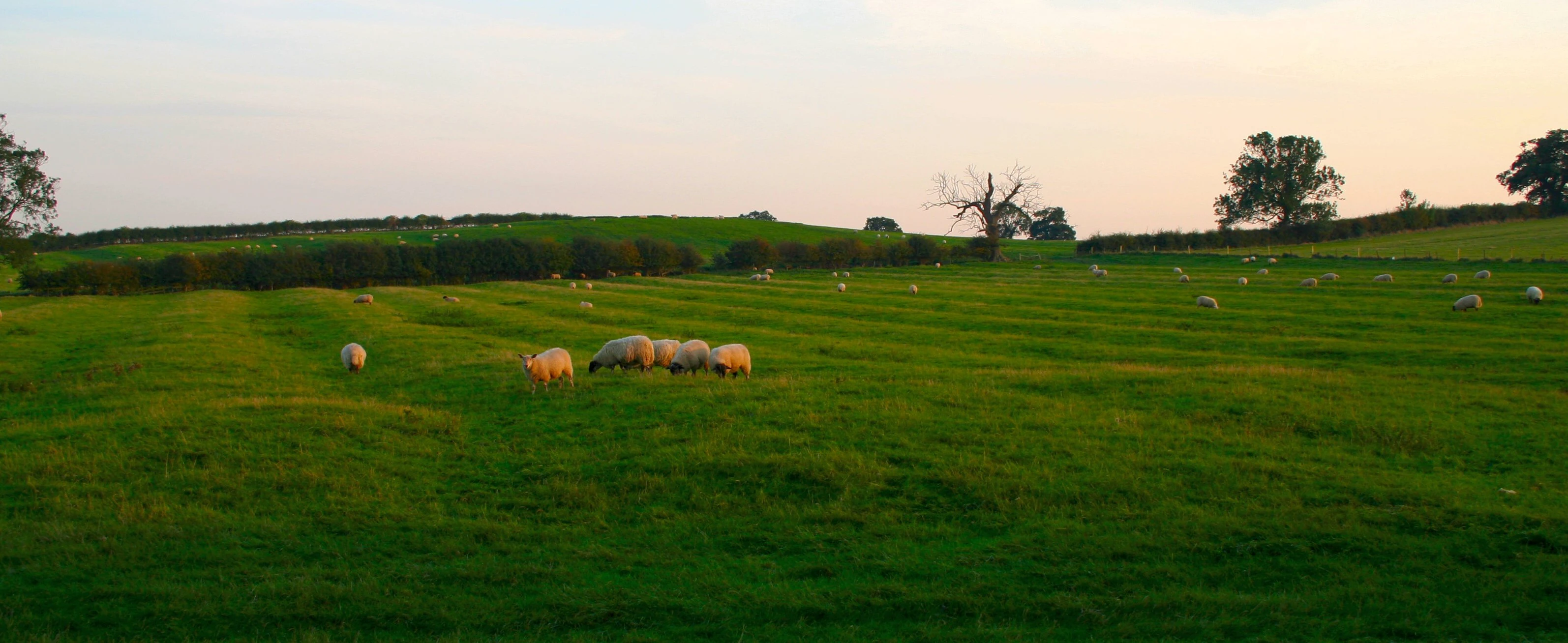
Ridge and furrow in Grendon, Northamptonshire
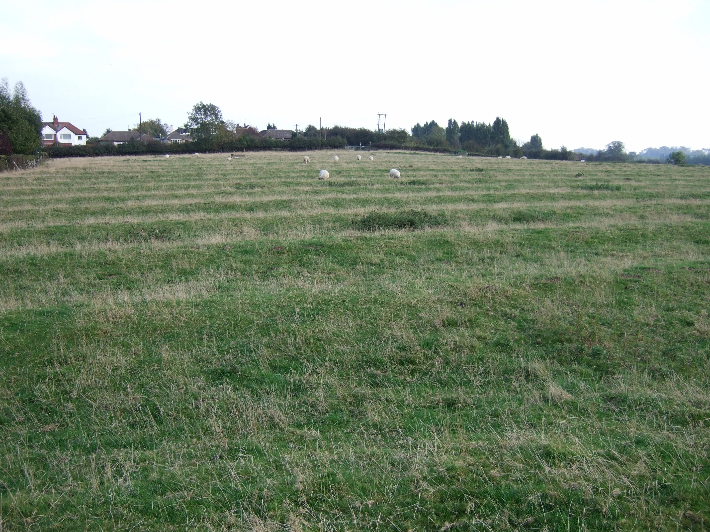
Ridge and furrow in East Leake, Nottinghamshire
Ridge and furrow is an archaeological pattern of ridges (Medieval Latin sliones) and troughs created by a system of ploughing used in Europe during the Middle Ages, typical of the open field system. Other names for this are reans (or reeans) and butts - the rean being the furrow between two butts. Field names using rean exist on Tithe maps.
The earliest examples date to the immediate post-Roman period and the system was used until the 17th century in some areas, as long as the open field system survived. Surviving ridge and furrow topography is found in Great Britain, Ireland and elsewhere in Europe. The surviving ridges are parallel, ranging from 3 to 22 yards (3 to 20 m) apart and up to 24 inches (61 cm) tall – they were much taller when in use. Older examples are often curved.
Ridge and furrow topography was a result of ploughing with non-reversible ploughs on the same strip of land each year. It is visible on land that was ploughed in the Middle Ages, but which has not been ploughed since then. No actively ploughed ridge and furrow survives.
The ridges or lands became units in landholding, in assessing the work of the ploughman and in reaping in autumn.[1]. Strips were sometimes known as quillets such as those on the Tithe Map of Erbistock in Denbighshire.
Origin[]


Ploughing with a single-sided plough in a ploughing match, showing furrows heaped towards centre of strip (The different strips will eventually meet). Note that this is not yet ridge and furrow, as the strip has only been ploughed once in this location.
Traditional ploughs turn the soil over in one direction, with the ploughshare and moldboard to the right (see Single-sided ploughing). This means that the plough cannot return along the same furrow. Instead, ploughing is done in a clockwise direction around a long rectangular strip (a land). After ploughing one of the long sides of the strip, the plough is removed from the ground, moved across the unploughed headland (the short end of the strip), then put back in the ground to work back down the other long side of the strip. The width of the ploughed strip is fairly narrow, to avoid having to drag the plough too far across the headland.
This process has the effect of moving the soil in each half of the strip one furrow's-width towards the centre line.
In the Middle Ages each strip was managed by one small family, within large open fields held in common (see strip cultivation), and the location of the ploughing was the same each year. The movement of soil year after year gradually built the centre of the strip up into a ridge, leaving a dip, or "furrow" between each ridge (note that this use of "furrow" is different from that for the furrow left by each pass of the plough). The building up of a ridge was called filling or gathering, and was sometimes done before ploughing began. The raised ridges offered better drainage in a wet climate: moisture drained into the furrows, and since the ridges were laid down a slope, in a sloping field water would collect in a ditch at the bottom.[2] Only on some well-drained soils were the fields left flat. In damper soil towards the base of the ridge, pulses might be sown where wheat would have been drowned, as Thomas Tusser suggests in the 16th century:
For wheat ill land
Where water doth stand.
Sow pease or dredge
below in that redge.
The dip often marked the boundary between plots. Although they varied, strips would traditionally be a furlong (a "furrow-long") in length, (220 yards, about 200 metres), and from about 5 yards (4.6 m) up to a chain wide (22 yards, about 20 metres), giving an area of from 0.25 to 1 acre (0.1 to 0.4 ha).[3][4][5]
In most places ploughing continued over the centuries, and later methods removed the ridge and furrow pattern. However, in some cases the land became grassland, and where this has not been ploughed since, the pattern has often been preserved. Surviving ridge and furrow may have a height difference of 18 to 24 in (0.5 to 0.6 m) in places, and gives a strongly rippled effect to the landscape. When in active use, the height difference was even more, over 6 feet (1.8 m) in places.[5]

Curved strips[]
When ploughing was done with large teams of small oxen— the standard unit in Anglo-Saxon and medieval England was of eight, in four yokes — the team and plough together were many yards long, and this led to a particular effect in ridge and furrow fields. When reaching the end of the furrow, the leading oxen met the end first, and were turned left along the headland, while the plough continued as long as possible in the furrow (the strongest oxen were yoked at the back, and could pull the plough on their own for this short distance). By the time the plough eventually reached the end, the oxen were lined up facing leftwards along the headland. Each pair was then turned around to walk rightwards along the headland, crossing the end of the strip, and they then started down the opposite furrow. By the time the plough reached the beginning of the furrow, the oxen were already lined up ready to pull it forwards.
The result of this was to twist the end of each furrow slightly to the left, making these earlier ridge and furrows into a slight reverse-S shape.[5] This shape survives in some places as curved field boundaries, even where the ridge and furrow pattern itself has vanished.
If the oxen had been turned right at the end of the furrow, they would immediately have had to turn right again down the returning furrow, making the line of oxen cut across the top of the ploughed strip and thus pulling the plough out of the ground before it reached the end of the furrow. Alternatively, if lined up rightwards along the headland, some would already be past the beginning of the new furrow, and these would have to be moved awkwardly sideways into the furrow to be ready to plough. Turning to the left made one turn at a time and avoided a sideways move.
As oxen became bigger and ploughs more efficient, smaller teams were needed. These took less room on the headland, and straight ploughing became easier – and easier still when heavy horses were used. Later ridge and furrow is therefore straight.
Surviving locations[]
Some of the best-preserved ridge and furrow survives in the Midlands of England in the counties of:
- Derbyshire
- Gloucestershire
- Leicestershire
- Nottinghamshire
- Northamptonshire
- Oxfordshire
- Warwickshire
Ridge and furrow often survives on higher ground where the arable land was subsequently turned over to sheep walk in the 15th century and has never been ploughed out since by modern ploughing methods, today surviving still as pasture and grazing for sheep where the effect is clearly visible, especially when the sun is low or after a dusting of snow. It is often associated with deserted medieval villages.
Similar agricultural landforms[]
- Rig and furrow, cultivation ridges created by spade digging
- Cord rig, cultivation ridges created by spade digging
- Lazy beds, cultivation ridges created by spade digging
- Lynchets, sloping terraces on steep hillsides, created by gravity on hillslopes subject to ploughing
- Raised bed gardening, a modern system of raising cultivated land above the surrounding ground
- Run rig and rundale, Scottish and Irish land-use patterns named after their characteristic ridges and furrows
- Water-meadows, grassland with ridges and dips to control irrigation – superficially similar to ridge and furrow, but the origin, pattern and use were very different
References[]
- ↑ George C. Homans, English Villagers of the Thirteenth Century, 2nd ed. 1991: "The Skills of Husbandmen" pp44ff.
- ↑ Noted by Homans 1991.
- ↑ David Hall, "Medieval fields in their many forms", British Archaeology, 33
- ↑ George Demidowicz, Ridge and Furrow Survey (King's Norton), Birmingham and Warwickshire Archaeological Society, 2005
- ↑ 5.0 5.1 5.2 Eyre, S R. "The Curving Plough-strip and its Historical Implications". Agricultural History Review 3 pp 80-94
External links[]
| ||||||||||||||||||||||||||||||||||||||||||||||||||||||||||||||||||||||||||||||||||||||||||||||||||||||||||||||||||||||||||||||||||||||||||||||||||||||||||||||||||||||||||||||||||||||||||||||||||||||||||||||||||||||
| This page uses some content from Wikipedia. The original article was at Ridge and furrow. The list of authors can be seen in the page history. As with Tractor & Construction Plant Wiki, the text of Wikipedia is available under the Creative Commons by Attribution License and/or GNU Free Documentation License. Please check page history for when the original article was copied to Wikia |